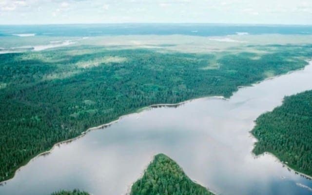
Recharge Metals’ (ASX: REC) Wapistan lithium has never been explored for lithium in spite of the fact that it is located in the now emerging powerhouse James Bay lithium district.
With lithium discoveries having been reported by close neighbours there, Recharge has commissioned Edmonton-based consultants Dahrouge Geological to collect data and generate exploration targets.
Dahrouge will also conduct a field program using crews that already operating in that area.
They will be looking for outcropping pegmatites and potential pegmatite-bearing structures.
Close to recent lithium strikes
Wapistan is located 10km east of the Mia lithium discovery by Toronto Venture Exchange-listed Q2 Metals and the Radis discovery made by another TSX-V company, Ophir Gold.
At Mia, Q2 has reported grab samples which returned grades of 2.01% lithium oxide, 1.57% and 1.04%. These were collected to back up samples taken in 2022 that averaged 2.65% lithium oxide.
At Radis, outcrop samples returned 2.33% lithium oxides, 1.68% and 1.17%. Ophir also reported it had identified a previously unsampled spodumene-bearing zone.
Recharge says the identification of such zones in historical reports provides significant encouragement for its own phase of research, data compilation and target generation at Wapistan.
Work hampered by fires
Overnight reports say that 79 forest fires are still burning in Quebec, 11 of which are out of control.
Access to, and movement within, the James Bay region continues to be restricted due to the risk of fires.
Recharge says it is monitoring the fires and will be on the ground as soon as conditions permit.
No previous lithium exploration
No lithium targeting or exploration has been carried out previously over the Wapistan ground, with all exploration to date focusing on gold or other metals.
Nevertheless, Recharge has access to records of historic exploration, including field mapping, surface sampling and geophysical surveys.
In addition, the company plans to compile available data such as high-resolution satellite imagery, and open file geophysical data, to integrate with this historic data sets.
This will enable the ranking of exploration targets at the project.
